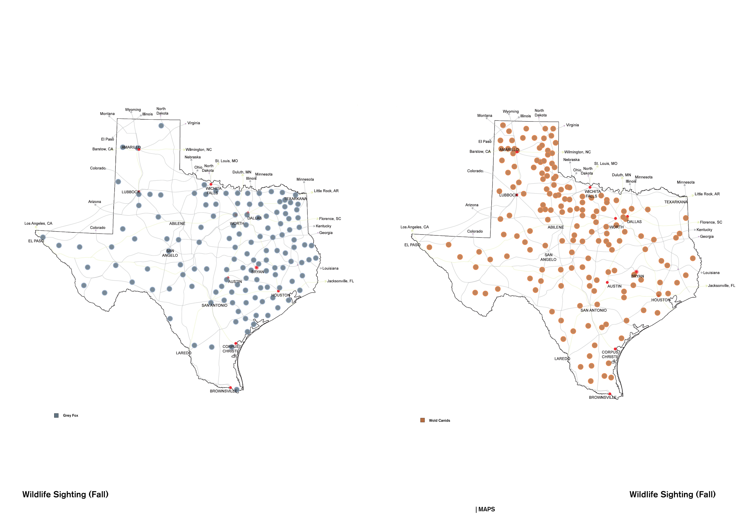
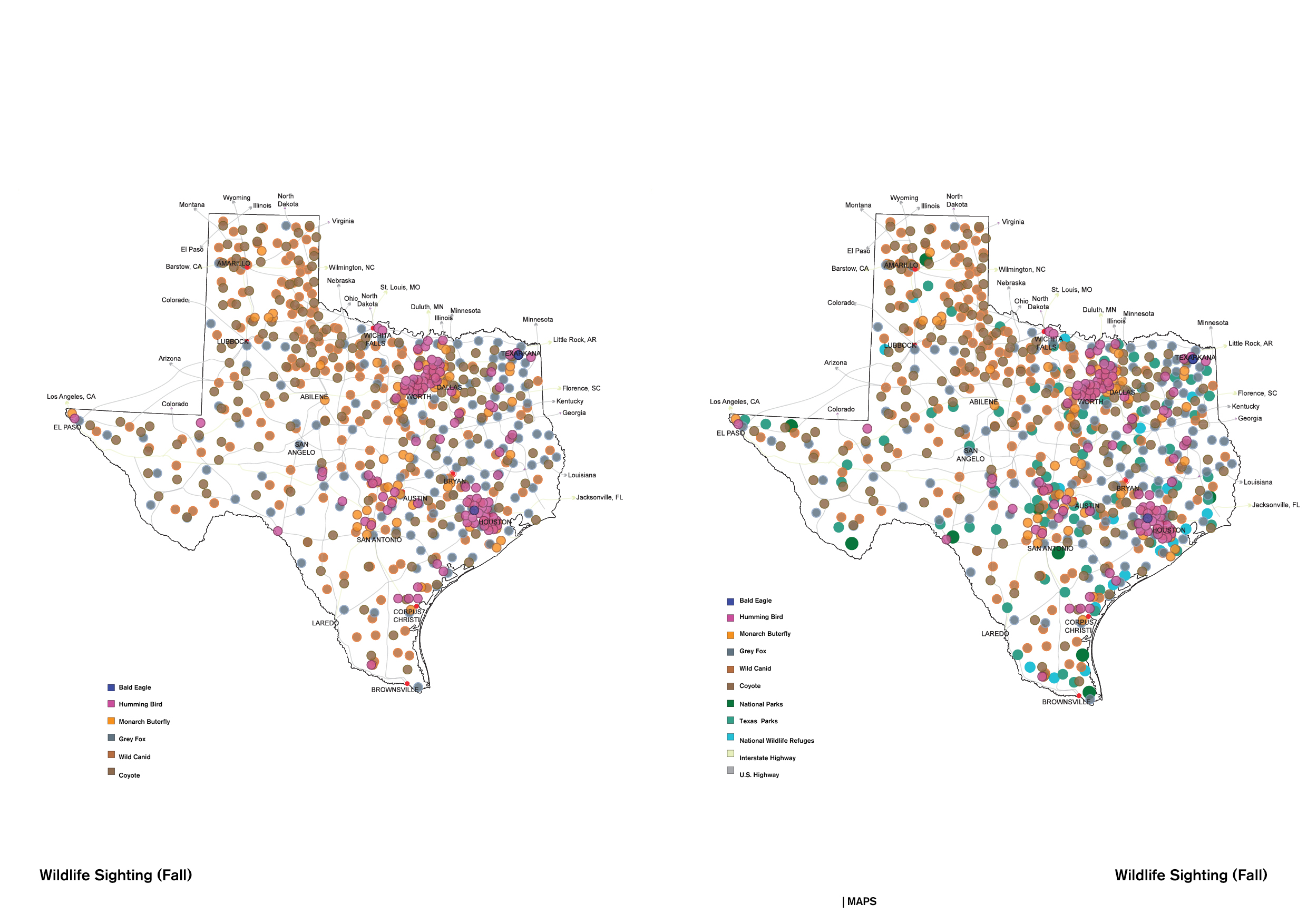
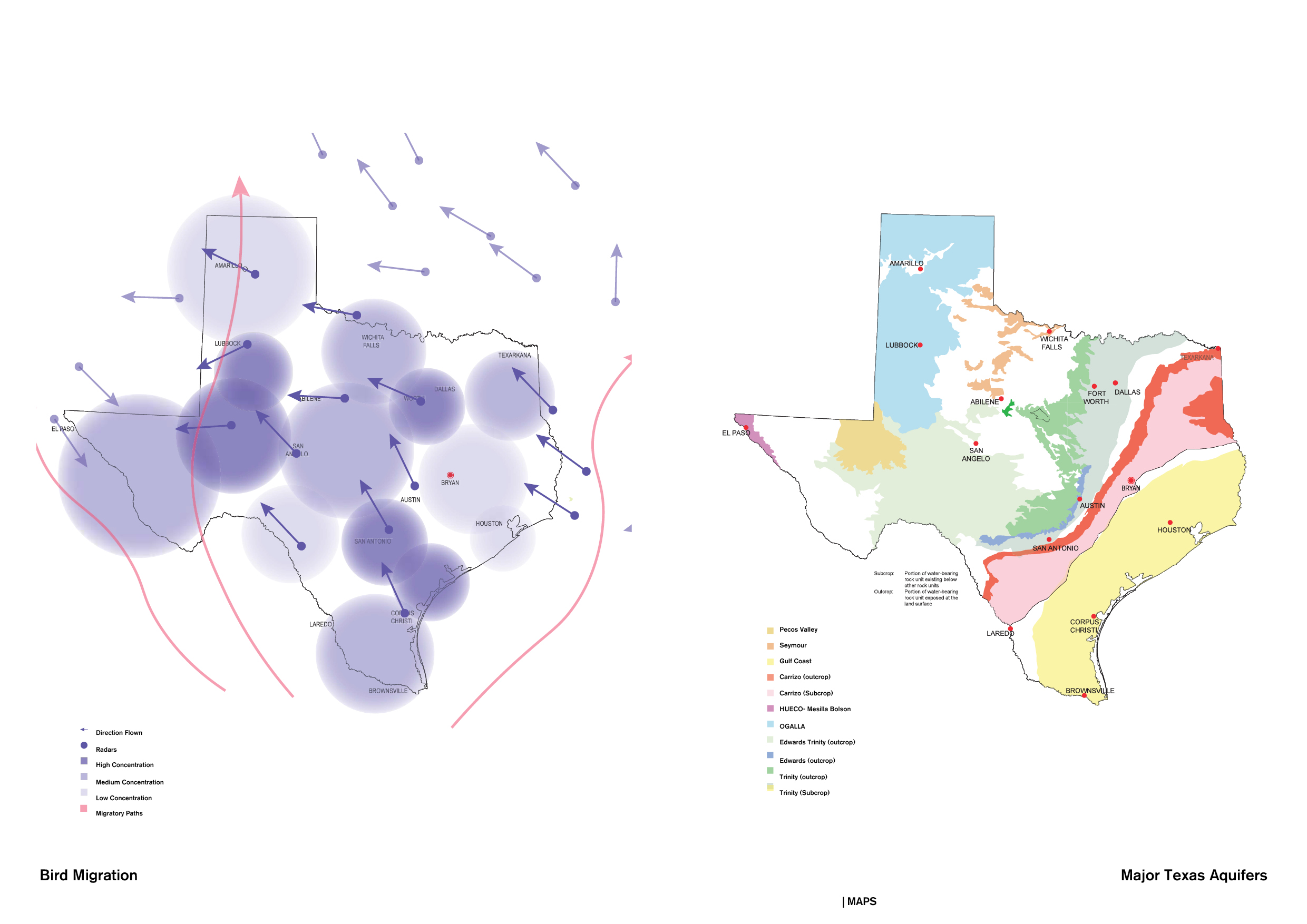
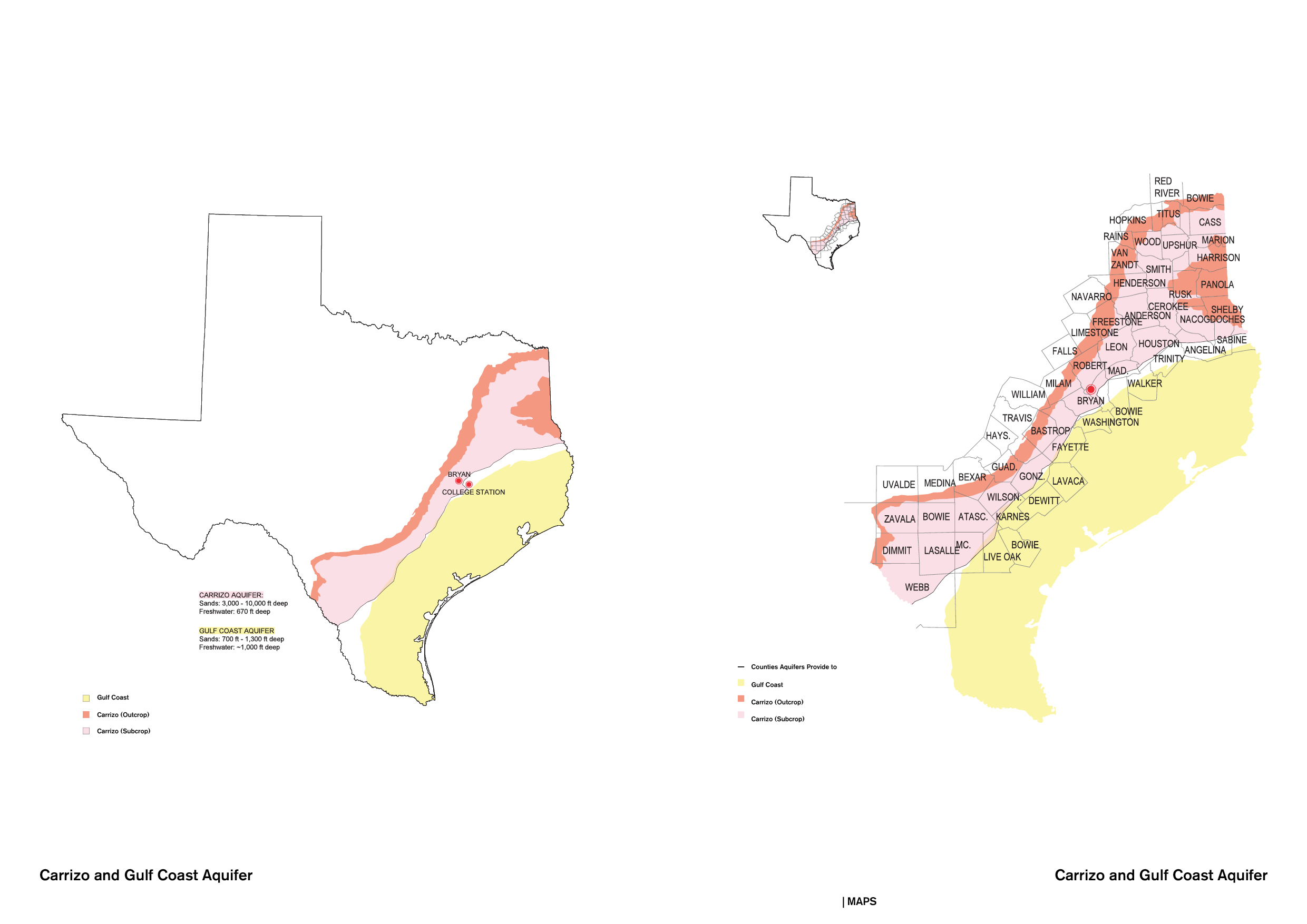
TEXAS MAPS The following maps document the Texas scale. Maps were done from the local level up, as a need to understand the multi-scalar relations of phenomena happening at the local level.
< 20 Images >
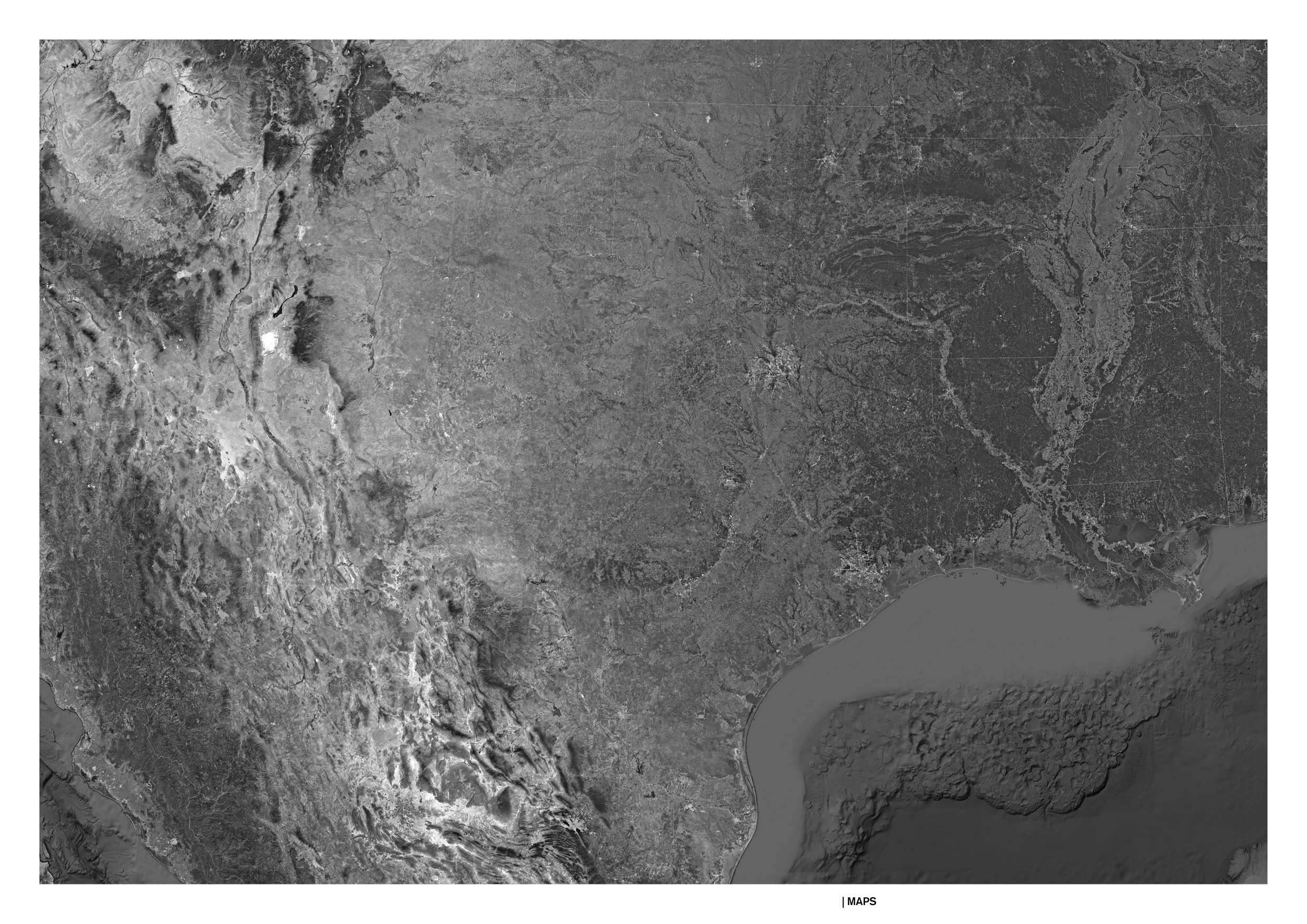


First image, aerial view of the Texas territory, Google Earth, 2021.